Sunday, August 31, 2014

Bear Hair Gap Trail – Vogel State Park in Blairsville, Georgia


Blairsville, Georgia  (high 85, low 64)

Along with much of the rest of the country, we have had a bit of a heat wave.  We got some heavy rain last night with 1.5 inches falling.  Unfortunately, is didn’t bring a cold front with it.

The other day, we went to the Mountain Crossings outfitter which is in an old Civilian Conservation Corps building that was completed in 1937, which was the same year the Appalachian Trail was completed.  The AT actually passed right through a part of the building.

They serve some 2000 hikers each year on their journey to Maine. Anything you need for hiking can be found there, and it’s a fun place to visit.

My old Merrell hiking shoes had been hurting my toes when going downhill. My toes were  jamming into the front of the shoe.   I decided to go to Mountain Crossings where they had people that could help me get some properly fitting shoes.  They have an incline board so that you can simulate walking both up and down the mountain.  It’s a great way to make sure your feet aren't going to slide down and jam your toes into the front of the shoes.

My old shoes were an 8, which is 1 size larger than I normally wear, but they were still too short.  I wanted to make sure the new ones fit properly.

I tried on a few Merrell shoes and then the salesman brought me a Keen waterproof shoe.  It was so comfortable, and much more than the Merrells. I went back and forth between 8.5 and 9’s.  I have never worn anything that large, and they actually looked huge on my feet.   He said I would be better erring on the larger size than the smaller size, so I ended up with a size 9!

We also ended up buying some nice Merino Wool socks, and they really are nice.  I guess we’ll have to get another pair or two.


So, armed with new shoes and socks, the next morning, we decided to head over to nearby Vogel State Park, and hike the Bear Hair Gap Trail.

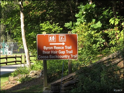
The Coosa Backcountry trail is 12 miles.  There are no shortages of hiking trails around here.

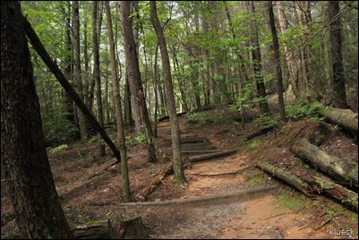
Bear Hair Gap Trail at Vogel State Park, Georgia

None of the trails around here are flat.

IMG_0811

It’s listed as either a 3 mile or a 3.6 mile trail.  We figured out the actual trail is 3 miles, but there is a .6 mile connector that leads you to one of two trails, and that’s after you walk another half mile or so to the start of the trails.

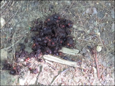
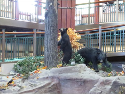
We heard there is bear activity in the park with 2 mothers.  One with 2 cubs and one with three.

This was all we saw of any bear activity.

bear?

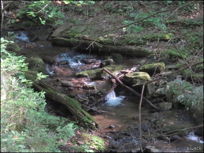
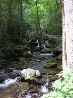
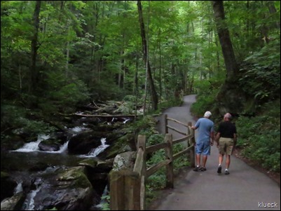
Most all the trails around here have streams and waterfalls.  Some more spectacular than others.

IMG_7563

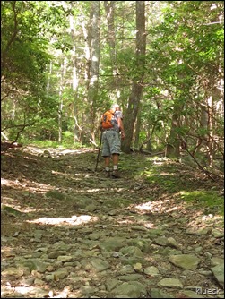
There are plenty of rocks.  Little ones.

Bear Hair Gap Trail at Vogel State Park, Georgia

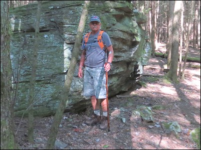
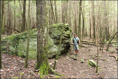
Big ones

Bear Hair Gap Trail at Vogel State Park, Georgia

This is a photo from a hike there last fall.

IMG_0833


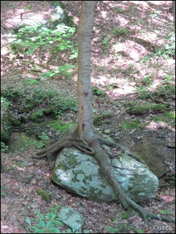
Rocks with trees growing on top of them.

tree growing on top of large rock

Pretty rocks.

Bear Hair Gap Trail at Vogel State Park, Georgia, interesting rock

shiny rocks

Bear Hair Gap Trail at Vogel State Park, Georgia

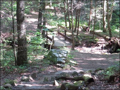
This was the bridge where Nancy and Bill found the Buckeye tree.

They were nice enough to bring us a few, but our goal was to find a few on our own.  They are said to be lucky if you carry one in your pocket. 

Bear Hair Gap Trail at Vogel State Park, Blairsville, GA

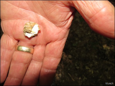
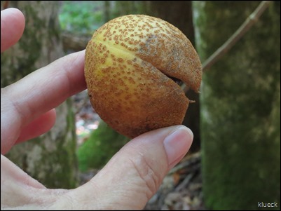
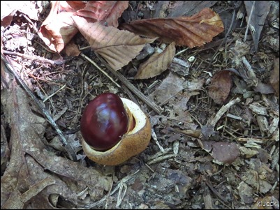
Success….or was it luck, since Al had one in his pocket?

Buckeye

Buckeye


It was a nice hike, and we will go back when the leaves start to turn.  It isn’t a difficult hike, but like all hikes here in the mountains, there are no shortages of inclines!


p.s.  My new Keen hiking shoes were very comfy, with no toes jamming into the front of the shoe.
Wednesday, August 27, 2014

A Day of Waterfalls with Nancy and Bill


On Monday morning, Bill, Nancy, Al and I were on the road by 8:30 am, with plans to visit Tallulah Gorge State Park.  The gorge is two miles long,  nearly 1,000 feet deep and a favorite of locals and tourists.

It had gotten down into the 50’s the night before, so the cooler air made for some interesting clouds over the mountains as we were driving.


IMG_7267

We planned on a scenic drive along Track Rock Gap road, but Al got turned around and we ended up almost right back where we started.    I’m sure Nancy will tell you more about our little “detour” in her post.     In all fairness to Al, it WAS scenic!

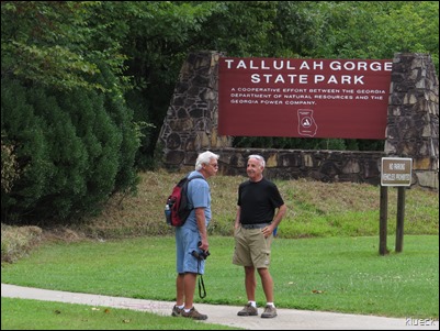
We arrived at Tallulah Falls State Park and went to the very nice visitor center to get some trail info.  There is a 15 minute film that runs every half hour, but we opted to see if after the hike, due to the timing.

IMG_7467

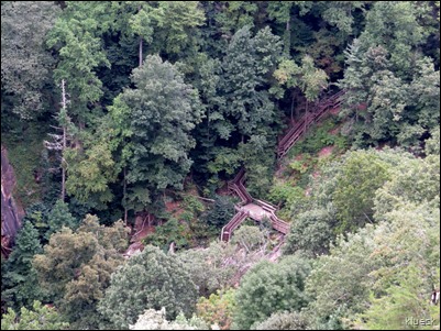
There is a canyon floor hike which takes you down a series of steps.  You have to get a permit to hike this trail and they only allow 100 per day.


HURRICANE FALLS LOOP TRAIL (hikers only, no pets)
Approximately 2 miles, round-trip. Mulched with metal stairs. Rated difficult.
• This trail has a total of 1,099 stairs (including staircase to gorge floor)
• Please do not attempt this trail if you have any known health condition
• Please do not leave children unattended.
• No pets allowed on this trail.


We don’t particularly like steps, so Al and I had no desire to take this hike.   Nancy and Bill probably would have enjoyed that trail, but they knew we weren't up for it, so we decided to do the rim trails.
It was a little chilly when we arrived and I wondered if I should have brought a light jacket.  We saw no sun until after we finished the hike, but we warmed up quickly when we started walking.  It was a perfect day for hiking with temps only in the 70’s.

There is a north and south canyon rim trail and they don’t meet, so you have to back track to do them both.  We ended up with about 3.5 miles by the time we finished. None of it was difficult but there were some elevation changes.

It started with a pretty steep climb, but the trail was nicely padded with mulch.

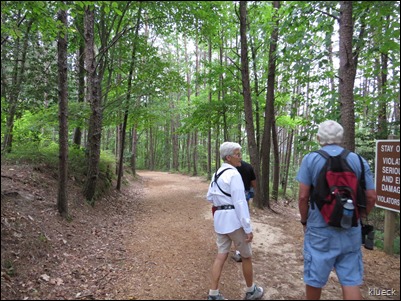
Tallulah Falls with Bill and Nancy


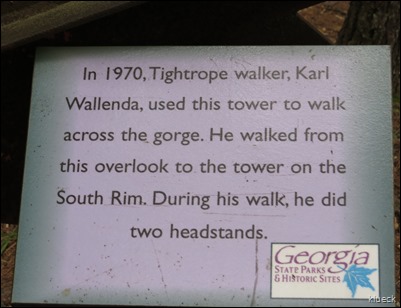
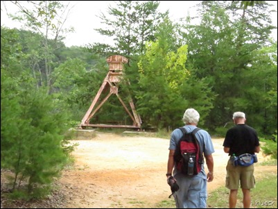
Tallulah Falls with Bill and Nancy, Karl Wallenda platform

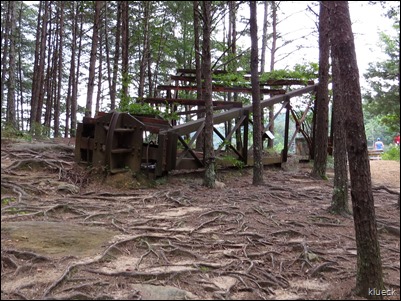
This is one of the towers he used on his tightrope walk.

Tallulah Falls with Bill and Nancy, Karl Wallenda platform

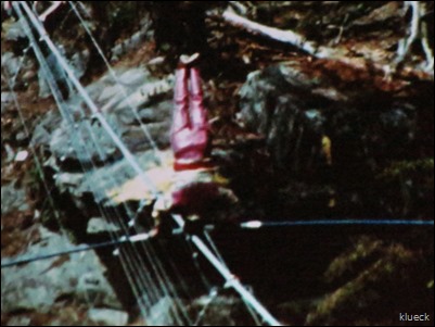
Here is a picture of him doing handstands.  I snapped it when we were watching the film about the park.  

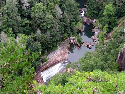
It is a looooong way down!

Tallulah Falls with Bill and Nancy

IMG_7289

We saw the other tower when we walked to the opposite side of the canyon.

IMG_7395

The canyon and waterfalls are amazing, but my photos do not capture them very well at all.  Nancy had a SLR camera, so hopefully her pictures will be better.

IMG_7279

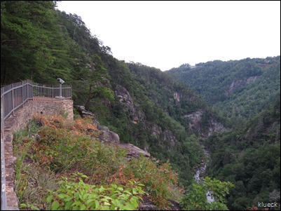
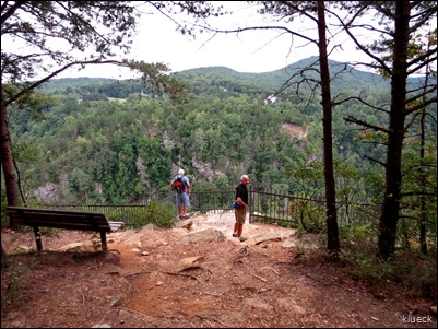
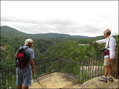
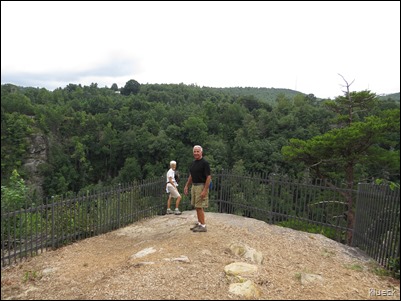
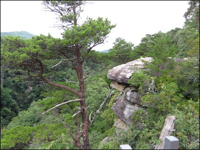
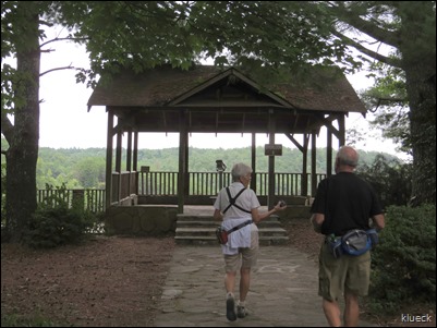
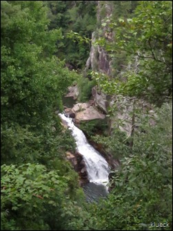
There were several overlook points with some pretty amazing views.

We intend to go back in the fall when the fall colors are at their peak.

The next picture is a zoomed in shot of the stairs that were on the canyon floor trail.  It was a long way to the bottom

IMG_7280

Talullah Falls

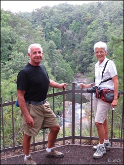
Bill doesn’t get too close to the edge of the canyon, but Nancy doesn’t seem to mind.

Talullah Falls

Talullah Falls

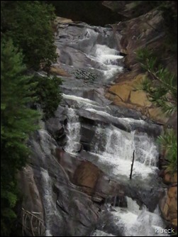
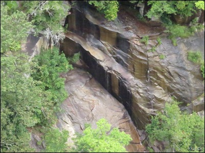
There were many different waterfalls all along the canyon and many rocks  that were dry, but looked as if water had previously flowed down them.

IMG_7330

Talullah Falls


Talullah Falls Nancy and Bill

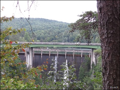
We finally spotted the dam. You can see the water flowing through holes in it. 

Talullah Falls dam 

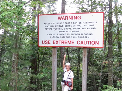
The warning sign near where you access the canyon floor was certainly large enough, don’t you think?

IMG_7348


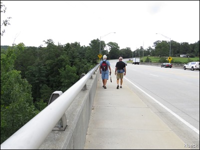
The trail led over the dam and along the highway!  That was sure a surprise that this was a part of the hike.

Talullah Falls  Bill and Al

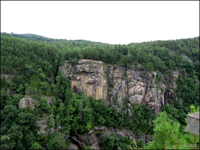
The other side of the gorge.

IMG_7354

more scenic overlooks

IMG_7355


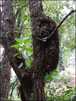
I thought this looked like a bear, but it was some sort of growth on the tree.

IMG_7379 

IMG_7377

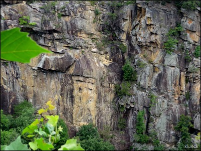
The rocky cliffs looked completely different on this side of the gorge.

Talullah Falls Nancy and Bill


There were a lot of pretty colored rocks and caverns.


Talullah Falls


Talullah Falls

IMG_7451

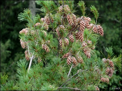
Looking down into the canyon, we saw these pretty pinecones on the tops of many trees.

IMG_7402

After we left Tallulah Falls, we decided to have lunch at Zaxby’s.  Thanks Bill and Nancy for treating!

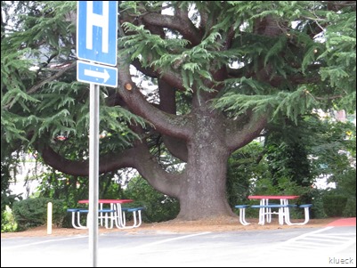
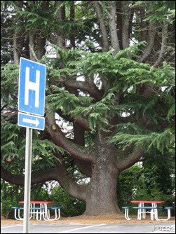
While stopped at a light, we noticed this interesting tree.  It was amazing.

Amazing tree

It was a gorgeous tree, but I’m not sure what it is.  It was HUGE!

Amazing tree


We still had plenty of time, and Anna Ruby Falls was on the way home, so we decided to go there and take half mile paved trail to the falls.

We got in free with our Geezer pass.

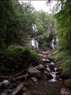
There is flowing water all along the trail with the main waterfall at the end.

IMG_7495

Anna ruby Falls


IMG_7498

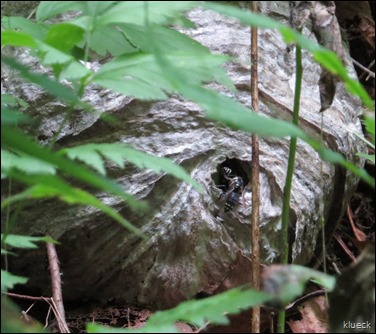
Nancy and I found an active hornets nest laying on the ground.

IMG_7525

IMG_7484

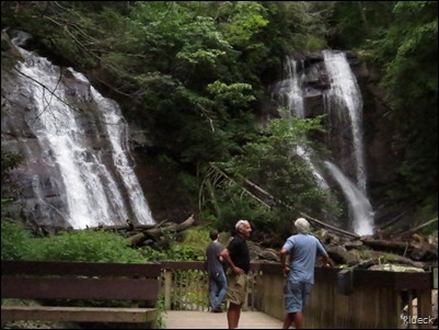
The waterfall is about 153 feet high, and hard to get the entire thing in one photo.

IMG_7505

IMG_7510


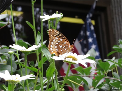
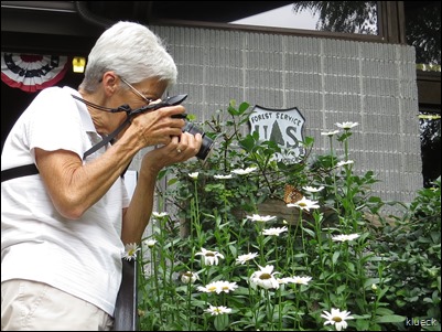
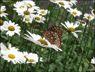
We found a  very cooperative butterfly outside the visitor center.

IMG_7541

Nancy worked real hard and I’m sure her pictures turned out  much better than mine.

IMG_7542


IMG_7537

He stayed there all the time we were taking his picture and Nancy even was able to give him a little thank you pat for his cooperation.

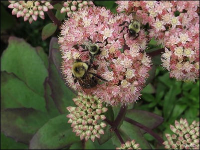
The bees really liked this flower and they were also very cooperative.

bees

It was a fun day, with nice people and we had a great time.   We couldn’t have asked for nicer weather, even though we didn’t see much sun.

Nancy and Bill left today, but  I’m sure we’ll meet up again somewhere down the road.

Thanks for visiting Nancy and Bill.  We enjoyed meeting you.