O’Leno State Park is located in the northeast area of Florida and near many of Florida’s beautiful natural springs. The Santa Fe River goes underground in O’Leno SP, and appears again at River Rise SP which is nearby. This area provided early settlers a land bridge to cross the Santa Fe River.
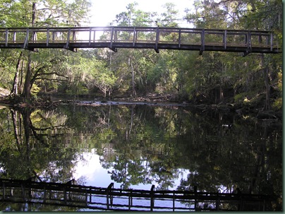
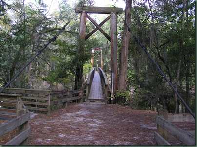
The Civilian Conservation Corp built the park and also a beautiful suspension bridge over the Santa Fe River. It has a lot of swing & sway to it when you walk over it. Some of the few rapids in Florida are right below the bridge.
The park has 2 campgrounds. Magnolia and Dogwood, with 61 sites, cabins and youth/group camping areas. Neither campground is directly on the river but is within a short walk to it.
The sites in the Magnolia campground are large and have good privacy and many are large enough for larger rigs. There are 2 pull thru sites. Magnolia loop was closed for a while recently to “upgrade” the campground. I' m not a fan of their upgrades. They cut down large trees and used them to make borders between the sites. It is a very unnatural look in a place that is supposed to be natural. Some of the trees were probably cut down after being infected with the Pine Beetle. The wood is breaking down and leaving large piles of sawdust and bark in the sites. It makes the sites look messy as the trees obviously have not fallen naturally where they are located. Here are a few of the worst sites, aesthetically anyway.
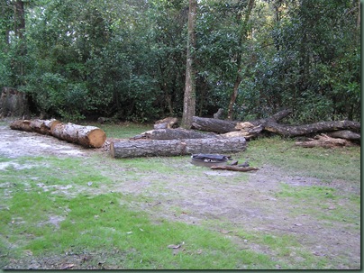
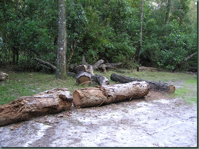
This site makes it hard for the camper to even use his awning.
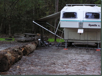
Maybe it’s just me, but my campsite is my back yard for a few days and the above sites are not my idea of what I want to look out and see.
Our site (#16) is okay but still has some unsightly logs around the perimeter.
We made a drive over to the other campground (Dogwood) loop and decided it was definitely a no go. The road in and our was narrow, with large ruts in the road. We had a hard time in the car, the motorhome would have been a real problem. The sites were mostly very small and not very pretty. It was mostly for tents and small rv’s. We will not stay there.
The last time we were here was exactly 7 years ago. We were there for a “Pickers Festival” It was a group of bluegrass fiddle players. They took turns and played until 2am, without stopping! When we checked in the ranger told us that we just missed them. Oh Darn! It’s not that I hated them (at first). It was kind of unique, but they never stopped playing!
We are in site 16, in the Magnolia campground.. It was on our list of good sites from our last trip. They did plant some pretty rye grass, but most of the campsite is bare ground/sand. . We like the site okay though and it will be fine. We had no neighbors and the CG was pretty empty, until Friday when the week-end crowd started coming in. The sites are large enough though and there is plenty of room between us and our neighbors.
Site 16
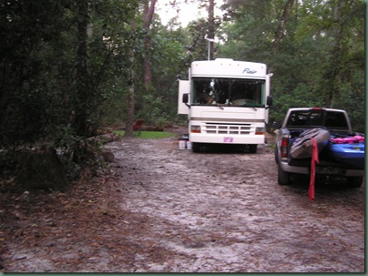
Not sure of what number this is, but many of the sites are very similar.
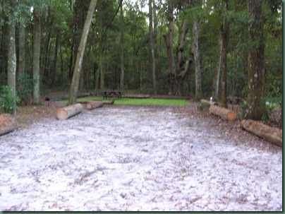
Site 18
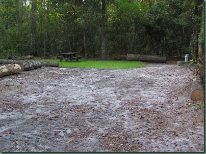
Site 17
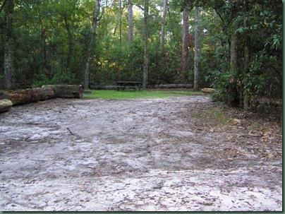
site 26
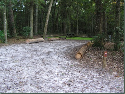
Site 20
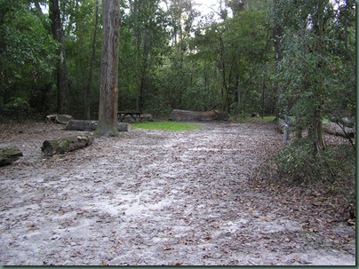
Yesterday after setting up, we took a drive to try to locate a kayak launch place that we used 7 years ago. Al wasn’t exactly sure where it was but we found it. It’s Rum Island Park. It’s a small park on a beautiful spring on the Santa Fe River. It’s been updated since we were last time and is much nicer. You go to hw27 to CR 138 for about 3 miles until you see a sign that says Rum Island Park. It’s a good place to launch and see some beautiful blue springs. It's a nice park to spend an afternoon picnicking or swimming. The spring is beautiful. The beautiful blue water flows into the dark Santa Fe River.
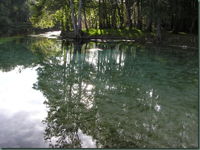
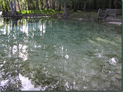
You launch and then head downstream (or right). It’s less than 2 miles until you come to Ginnie Springs ,which is another beautiful spring and campground area. It’s a private CG and the sites were a little small for our tastes, but the spring is a must see, either by paddling or driving to the park. It was just as beautiful as it was 7 years ago when we were last there. We made a mistake and went on Saturday and or course there were hundreds of people tubing down the river by Ginnie Springs. We had to go back yesterday to be able to get near the spring.
Ginnie Springs Campground
The main spring is a big hole in the limstone that was formed from years of water flowing by the millions of gallons out into the river.
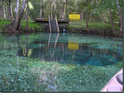
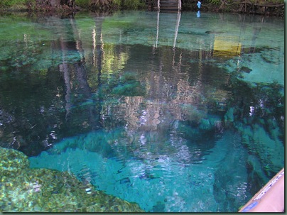
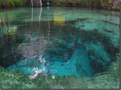
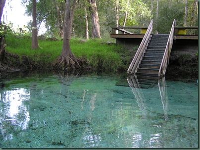
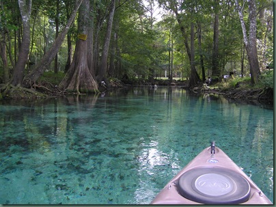
The cavern is crystal clear and as blue as a swimming pool. The water is a constant 72 degrees. A lot of cave divers come here from around the world. While we were there a group of 4 Russian divers had just come up from a dive and were in the middle of a lively conversation.
It’s a beautiful spring and a wonderful kayak trip up the black water of the Santa Fe to suddenly come across the crystal clear blue waters of Ginnie Springs. It’s one of Florida’s best treasures!
You can rent an inner tube and float downstream at Ginnie Springs.
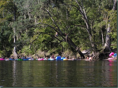
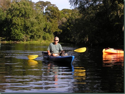
These are some other photos of our trip on the Santa Fe River
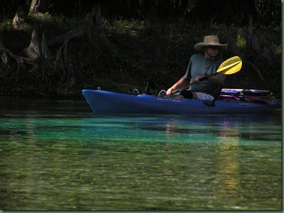
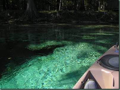
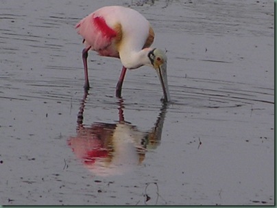
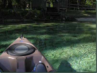
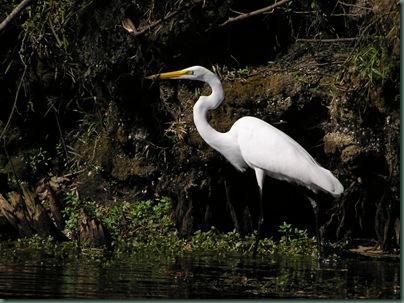
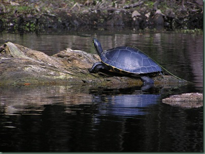
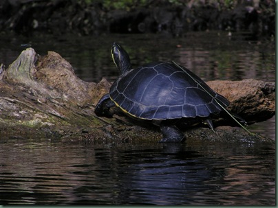
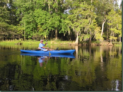
The Santa Fe is a blackwater river but with the occasional blue spring. There were a lot of turtles resting on logs and the occasional Egret.
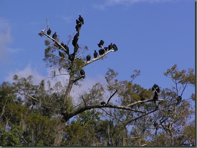
Turkey vultures
Ichetucknee Springs State Park
This is another beautiful north Florida spring fed river. It’s very popular for tubing. You can rent a tube at the north entrance and float down a few miles to the south entrance. Unfortunately it’s not “user friendly” for kayakers. You have to haul your kayaks too far for my taste. A kayak cart is needed.
Since we prefer to paddle upriver then have an easy float downstream when we’re tired we headed to the south entrance to the park. It’s not a great put in spot but in the off season (for tubers) there is another entrance just past the south entrance. It’s a little better spot to launch a kayak. You still have to carry the boat down a good ways but they have a nice floating dock you can launch on. If you’re lucky a nice gentleman from the Canoe Outpost will loan you his kayak cart, if you forget yours at home :)
We made a very strenuous trip upriver. There wasn’t much wildlife. Not as many turtles or birds as the Sante Fe. We were lucky enough on the way back to see 3-4 feral hogs, and a couple of otters. Unfortunately I was not able to get a photo of them.
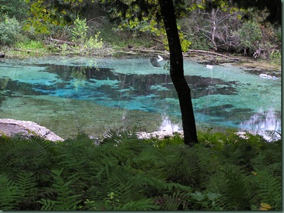
The river is a spring fed river and the water is crystal clear with a grassy bottom. It’s a scenic river.
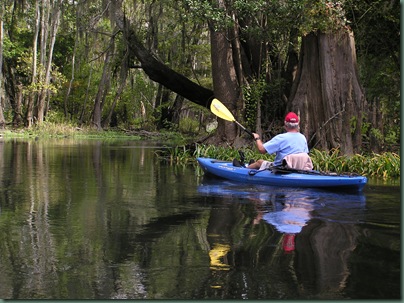
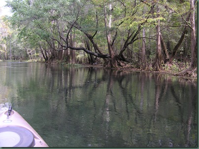
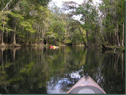
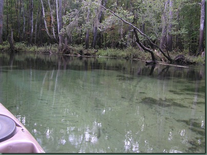
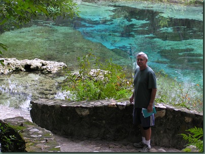
The north entrance to the park is where the head spring is. It’s the most beautiful part of the river.
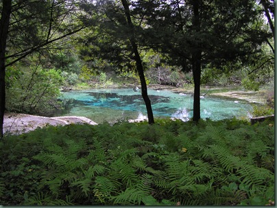
It’s a large and beautiful park but has no camping facilities.

Layayette Blue Springs


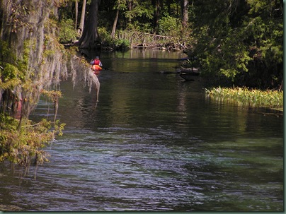
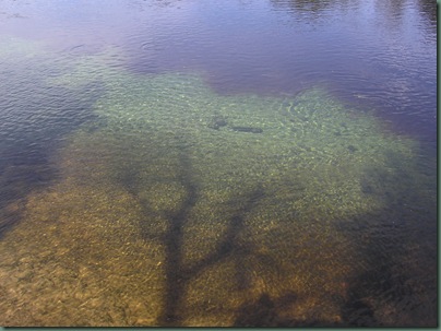
We talked to a local fisherman there. He said there during the cold months of the winter hundreds of large Gar (fish) would congregate by the area where the spring is roped off. They face right into the fence. He isn’t sure if it is to keep warm, or some kind of spawning ritual. He confirmed there are jumping Sturgeon in this part of the river. The river is very pretty in this location, with lots of beige sandy banks, which is nice to be able to get out when you are kayaking.
Our camping trip to O’Leno State park ended. We like the area because of the beautiful springs and rivers to kayak on. The campground is not as nice as it used to be, but it’s okay. We were able to get a few local tv channels with just our digital antennae. We picked up our signal from satellite but were not able to get local channels. Too far from home I guess.
The weather report when we left indicated a cold front was moving in with a tornado threat. Fortunately we made it home safely without much rain and no severe weather. We did get the motorhome stuck in the mud in the upper yard. We were trying to turn it around to back it into it’s spot and we’re stuck!
We had good weather. Used the AC the first day and none until the last day when the front was moving in and caused humidity. We had to use the heat twice.
We left the campground on Tuesday in a tornado watch. There was a front moving down with some good rain predicted. I kept track of the weather on the way home and we arrived home without too much rain or wind. Unfortunately after we got home and onto our property, we tried to turn the motorhome around and back it back into its spot. The ground was a little wet and we ended up stuck in the mud!
